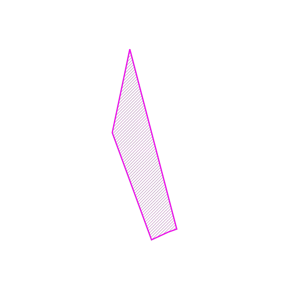
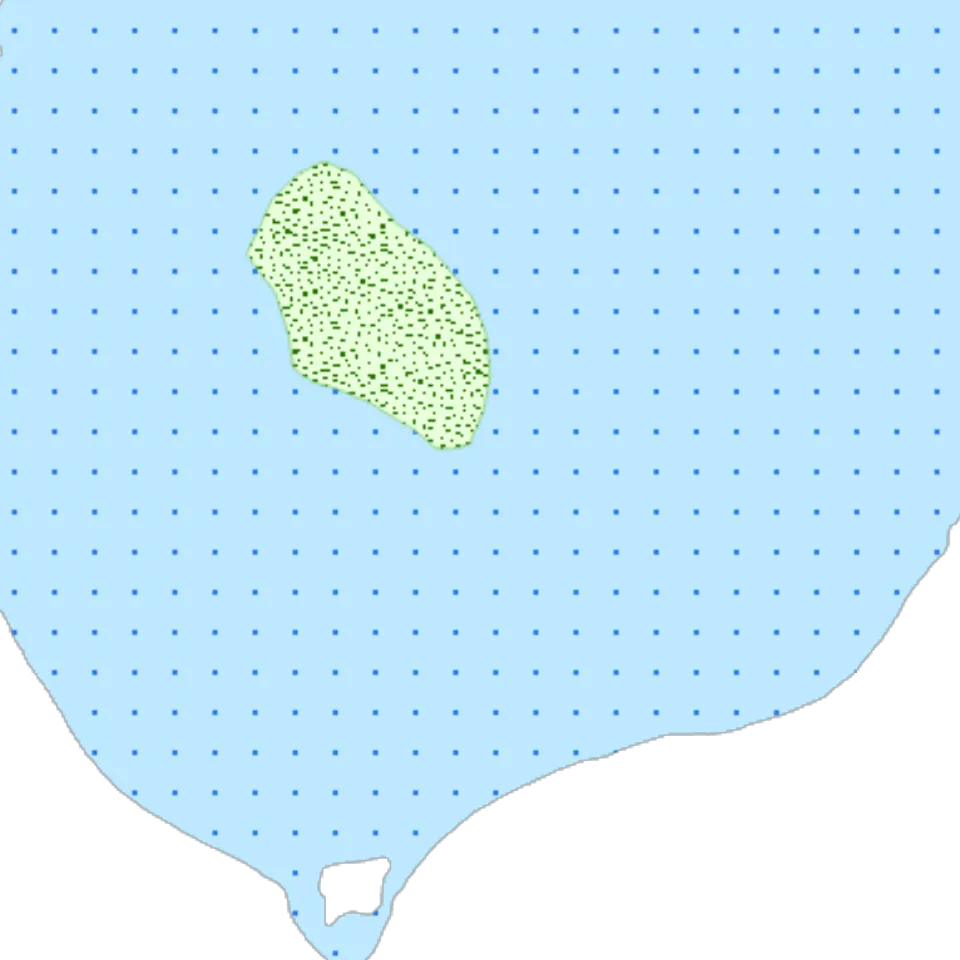
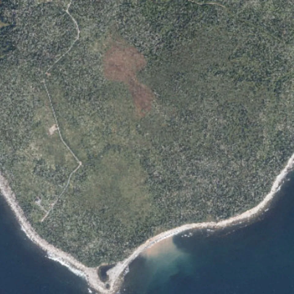
Every property in Nova Scotia has an eight-digit Parcel ID, or PID, printed on the deed and the tax bill. Type one in above and Geoscope pulls a dozen public datasets into one plain-language report, free. Here is what that looks like for Lot 2 on Jeddore Cape, a narrow strip of woods running down to a beach on the Eastern Shore.
Under it, on it, and around it
Groundwater, soil, flood risk, wetlands, forest, wildlife, and climate, all lined up to the same property line.
Arsenic in well waterHigh risk
Water wells19 wells on record nearby
Soil typeFresh to moist, loamy
Sea-level rise~2,600 m² of the beach end
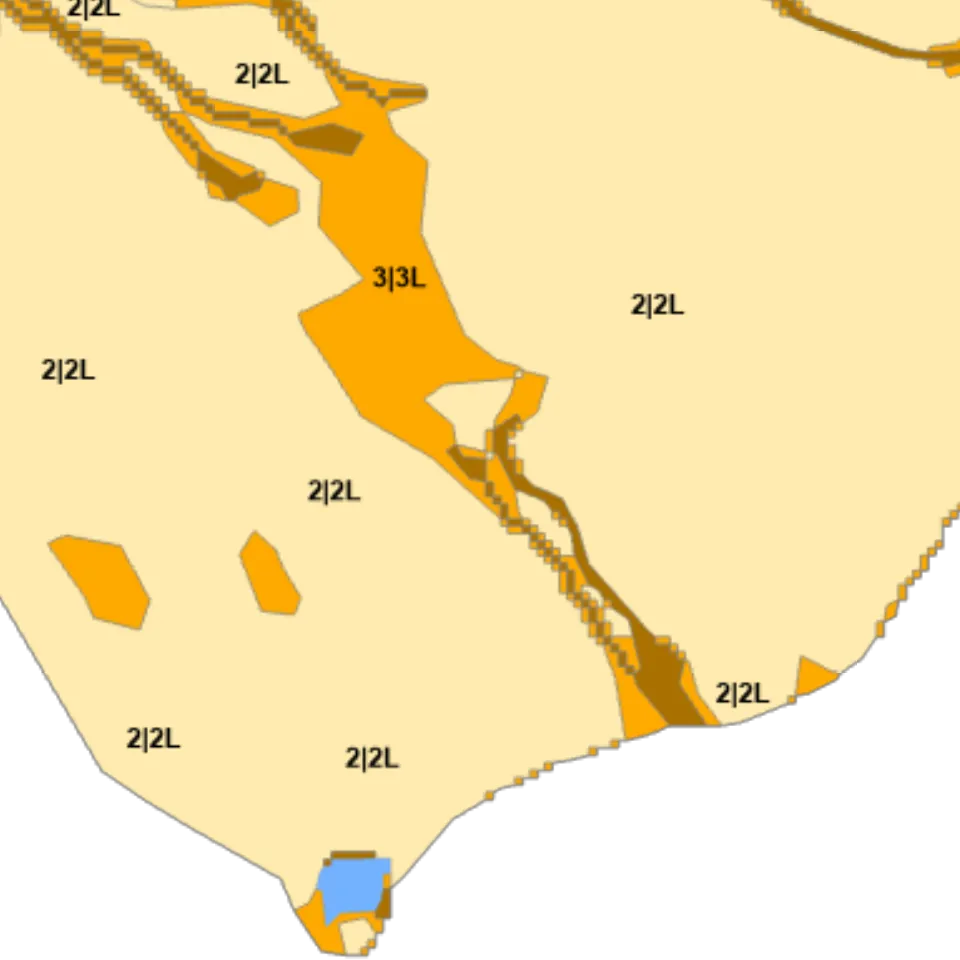
Flood susceptibilityHigh, class 5 to 6 of 6
WetlandsSwamp on ~14% of the lot
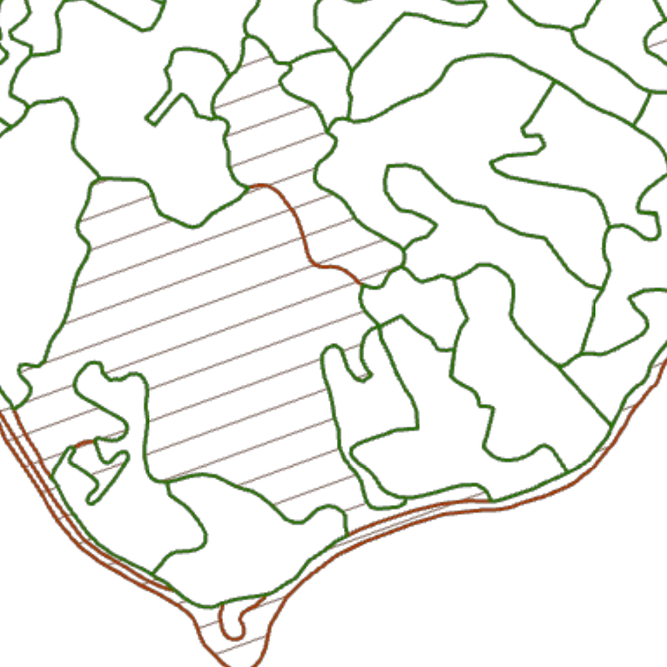
Forest inventoryMapped stands on ~23% of the lot
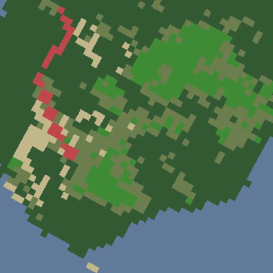
Land coverMostly needleleaf forest
Ecological land classificationEastern Shore · Coastal Mixedwood Hills
Wildlife sightings67 iNaturalist observations
Wind exposureExposed
Plant hardinessZone 6b
PID 40772188This lot
Twelve open-data layers for PID 40772188, stacked under an aerial photo of the lot.
What each layer tells you
Step through the stack. Every finding is about this lot, not the county.
Below ground
Arsenic in well water
High risk
The province's groundwater model puts this lot in its highest arsenic class. One lab test tells you if the well is safe to drink from.
NS Environment, arsenic risk map for private wells
Maps built from GeoNOVA, Nova Scotia Natural Resources and Renewables, Natural Resources Canada, and iNaturalist open data. Findings captured 29 September 2026.